International Trade Consultants
"Overlooking Runway 25 - Right, at Los Angeles International Airport"

The Freight Detective portal to live weather, U.S. Weather, weather satellites, Marine Weather, International Weather, radar weather, weather cameras, weather cams, ocean weather, radar, marine weather, Hurricanes, U.S. Weather, U.S. Weather Conditions, pacific weather, Atlantic weather, aviation weather, Travel conditions, Marine Weather, ocean weather, live satellites, NOAA, road conditions, virtual weather, hurricane center, tropical weather, weather animations, Europe weather, Asia weather, South Pole weather, isobar, radar, hurricanes, ocean buoys, weather cams, web cams, storms, storm tracker, tornado, weather alert, web cams, transport web cams, TRANS-CAMS, The Cargo Letter, radar cams, sea conditions, aviation weather, TRANS-CAMS,
The Freight Detective Meteorologist .... finder of current weather conditions
International Trade Consultants
"Overlooking Runway 25 - Right, at Los Angeles International Airport"
THE FREIGHT
DETECTIVE WEATHER INDEX
Use The Search Engine Here:
|
|
|
|
|
Our Staff Attorneys & Law Firm Profile The Cargo Law Network - Lawyers In The U.S. & Most Major Trading Nations Library & Search Engine of The Cargo Letter Search Engine For This Internet Portal - Find Everything You Need Transport Reference Desk - Virtual Transport Library |
24 Hour Int'l Vessel Casualties & Pirates Database The Photo Gallery of Cargo Loss - Photos & Lessons Learned Transport Law Navigator - all air, ocean, motor & customs laws Library & Search Engine of The Cargo Letter Mega Portal of Trade & Transport References And Services General Reference Desk - virtual public library |
|
TRANS
|
|
U.S. WeatherWeatherbug -- broadcasting live from areas of weather news.Aches & Pains Weather Map - for arthritis sufferers and others
American Meteorological Society
Aviation Weather #2 -- from National Weather ServiceAirport Flight Delays -- FAA
Weather Matrix -- Weather Cams, Radar, Forecasts, Hurricanes, Lightning, etc.
StormchasersCompu-Weather -- weather information &history services for the legal, insurance and film industries
Daily Significant Weather Event Imagery
Earth View Expert - pick your view, satellite & coordinates
FAX Weather Charts -- from the National Weather Service
Golfing Weather Forecast & Maps
Florida Real Time Lightning Tracker
Hurricane Movies -- download awesome QuickTime hurricane movies from NASA
Lawn & Garden Weather Map -- watering needs, freeze risk, etc. in your ZIP code
Marine Weather - internationalMarine Weather -- Ocean weather and marine links
Marine Weather -- Great Lakes and rivers
Coast Watch -- real time satellite images
Ship Tracker -- weather and position information, track by ship name or geographic location
Meteorological Satellite Studies -- UW-Madison
NASA Television -- watch live t.v. images from NASA over the internet
Pollen Cast -- allergy & pollen-based weather forecast for your ZIP Code
Snow Cover Map and Slope Conditions
Trip Planner -- using historical weather conditions
U.S. Atlantic Tropical Weather Center -- with live tracking
U.S. Interactive Weather Network - U.S. state by state - NOAA
U.S. Current Travel Conditions - by state - by road, with traffic cams
U.S. Doppler Radar Weather Maps
U.S. Midwest Detailed Weather & more
U.S. Wind Maps and Gale Advisories
U.S. Right Now -- NOAA Geostationary Satellite Server - cameras & satellites images by area
U.S. Weather Warnings At This Hour
Hurricane Sectors Current ImagesFree U.S. Weather Updates By E-Mail
The Cargo Letter Home Weather
California Road ConditionsAAA Road ServicesCurrent Catalina Island Weather - portal to Port of Los Angeles
Current Weather Conditions at The Cargo Letter
Real Time Road Conditions at The Cargo Letter -- from Sigalert.com
U.S. Billion Dollar Weather Disasters
Weather Center -- from Meteorology Dept. of Univ. of Utah
Your Sky - star maps for your area
HurricanesAtlantic Tropical Weather Center -- with live trackingBasic Explanation of the Differences Between Tornadoes, Cyclones, Typhoons and Hurricanes
Central Pacific Hurricane Center
Hurricane City - live tracking, audio & video - THE best
Hurricane Movies -- download awesome QuickTime hurricane movies from NASA
Hurricane Tracking Software - be at the eye of the storm
Hurricane Tracking Software #2 -- tracking the eye
Hurricane Videos -- for Windows
Hurricane Learning and Safety Information in fun format for kids -- from FEMA
Marine Weather - internationalMarine Weather -- Ocean weather and marine links
Marine Weather -- Great Lakes and rivers
Coast Watch -- real time satellite images
NOAA High Resolution Storm Imagery
Saffir-Simpson Hurricane Scale -- how hurricanes are categorized
Hurricane Cam -- from Delray BeachHurricane Cam -- from Bermuda
Directory of Hurricane Web Cams
How Hurricanes Happen -- from Miami Museum of Science
International & Marine WeatherAtlantic Region Sea State Analysis - at this hourPacific Region Sea State Analysis - at this hour
NOAA Int'l Bouy LocationsAtlantic Tropical Weather Center -- with live tracking
Atlantic and Caribbean Satellite Images
Aviation Weather Maps -- U.S.
Aviation Weather -- CanadaAviation Weather - International
Daily Significant Weather Event Imagery
Earth View Expert - pick your view, satellite & coordinates
East and Central Pacific Satellite Images
Indian Ocean Satellite Images -- updates approx. every 6 hours
International Marine Forecasts -- Coastal, Offshore and High Seas
International Weather Data -- from Ohio State University
Latest U.S. Coast Guard Int'l Ice Patrol Iceberg Map
Marine & Aviation Satellite & Radar Images
Marine Weather - internationalMarine Weather -- Ocean weather and marine links
Marine Weather -- Great Lakes and rivers
Coast Watch -- real time satellite images
Ship Tracker -- weather and position information, track by ship name or geographic location
Coast Watch -- real time satellite images
Sky Map - the cosmos from your city
UW-Madison Meterological Satellite Center -- high resolution images and 60 hour water vapor movies (!)
U.S. Marine Weather - Instant data from NOAA stations & remote buoys at sea
Interactive Buoy Data For The Greater U.S.Interactive Buoy Data For South West U.S. Coast
Interactive Buoy Data for Florida and the Eastern Gulf
Interactive Buoy Data For the U.K.
Interactive Buoy Data For The Western Pacific
Interactive Buoy Data for Ireland
Dial A Buoy -- find out the conditions via cell phone
Buoyweather.com -- online tools for mariners
Interactive Natural Hazards Map -- including earthquakes & tsunamis
International Weather - by country
National Weather Service -- weather around the globe
A Look At Weather on Other Planets -- from Discovery Channel
Space Weather -- the weather forecast for outer space
Ship Tracker -- weather and position information, track by ship name or geographic location
Tropical Cyclones Center -- Univ. of Wisconsin, Madison
World Tides & Current Predictor
Your Sky - star maps for your area
TORNADOES
NOAA Tornado Home PageThe Tornado Project -- very extensive site -- myths, fun stuff, statistics, etc.
Tornado Preparedness for Kids -- from "Owlie Skywarn"
Tornadoes of Different Sizes & Shapes -- dramatic images
Tornado Videos - for Windows Media Player
Basic Explanation of the Differences Between Tornadoes, Cyclones, Typhoons and Hurricanes
Interactive Tornado Probability Map of the U.S.
National Geographic's "Eye in the Sky"
National Geographic's "Chasing A Tornado" -- multimedia close-up footage of F4 tornado
Satellite Image of the Path of a Tornado
Satellite and Radar Images of Tornadoes
Storm Chasers' Videos, Photos and Stories
Trailer Parks and Tornadoes: A Statistical Correlation?
Twister in a Jar -- make your own tornado
Weather Warnings -- by state
What to Do in a Tornado and How to Prepare -- from the American Red Cross
VOLCANOES
Volcanoes Around The WorldHawaii Volcanoes National Park
Current Satellite Images of the World's Most Active Volcanoes
Current Volcanic Activity in the World
"Ask A Volcanologist" Archives
Volcano, the movie -- "The Coast is Toast" -- see the former home of The Cargo Letter buried under lava
MARINE & AVIATION WEATHER SATELLITE & RADAR IMAGES

INTERNATIONAL SATELLITE IMAGES
Earth Satellite Images from NASA
Google Earth -- zoom in from space to your house
Europe Weather Satellite
NASA Television -- watch live t.v. images from NASA over the internet
U.S. SATELLITE IMAGESEarth View Expert - pick your view, satellite & coordinates
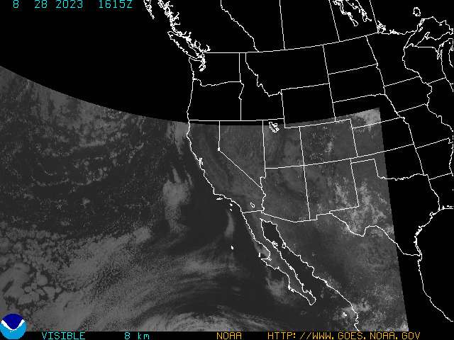
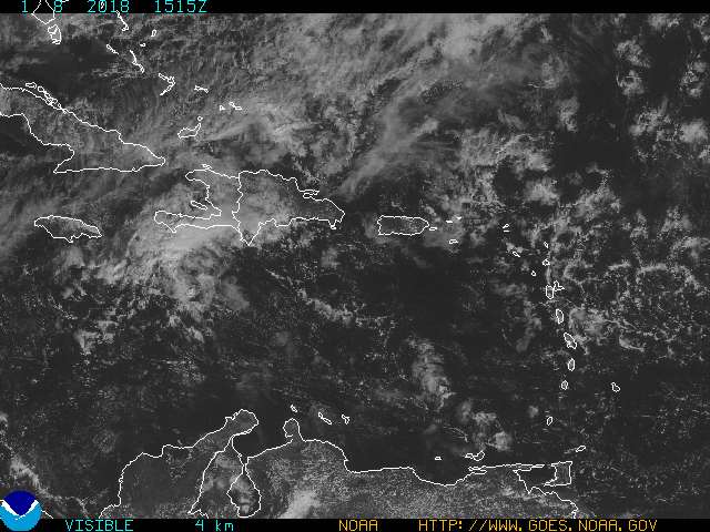
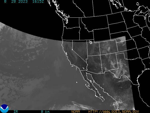
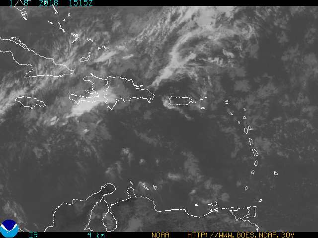
U.S. Coastal Satellite Coverage - at this hour -RESTORED
East CONUS
West CONUS
Puerto Rico
Alaska
Hawaii
National
U.S. Navy - NRL Monterey Marine Meteorology Division -- Satellite images, forecasts
Meteorological Satellite Studies -- UW-Madison
ASIA SATELLITE IMAGEDifferent VersionSOUTH AMERICA SATELLITE IMAGES
PACIFIC SATELLITE IMAGES
More Hawaiian Island Satellite ImagesSouth Pole Weather Information
To The Mega Page of Primary Services
|Cargo law Main Page | The Freight Detective | Law Navigator | Claims Calculator |
| The Freight Detective General Investigations | The Freight Detective Transport Investigations |
| The Logistics Chain | Photo Gallery of Cargo Loss | Our Staff |
| Trans-Cams | Forwarder/Broker Industry Chat & Issue Discussion Board |

The Law Offices of Countryman & McDaniel
Eleventh Floor LAX Airport Center
5933 West Century Boulevard
Los Angeles, California, 90045
(310) 342-6500 Voice
(310) 342-6505 Fax
![]() to
The Law Offices of Countryman &
McDaniel
to
The Law Offices of Countryman &
McDaniel
![]() to The Cargo
Letter
to The Cargo
Letter